CONSULTING
STRATEGIC REPORTS SUPERVISION
AQUAFUTURE IS A CONSULTANCY FOR GROUNDWATER explotation VIA REMOTE SATELLITE.
We offer a consulting service, generating strategic reports and sustainable exploitation points for borewells with recharge, we also manage the supervision of the projects .

Our technology is unique, effective and efficient, differentiating itself from the competition in its global application in a totally REMOTE manner.
Without the need for prior surveys, field verifications or tets of any kind.
Its operations do not affect aquifers or restricted, overexploited, limited or contaminated water tables.
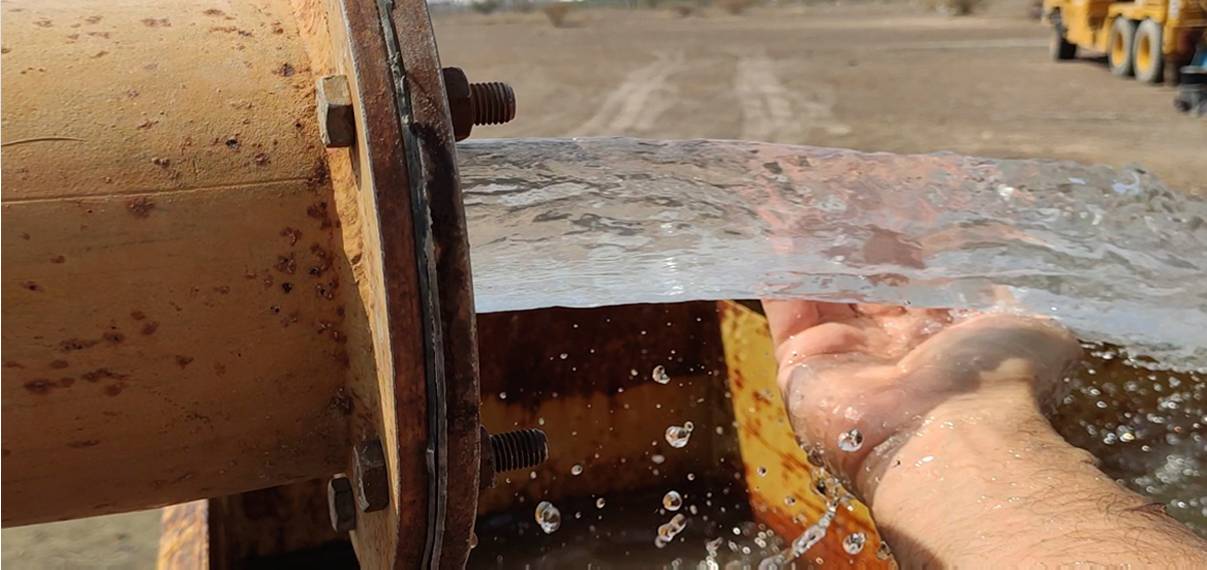
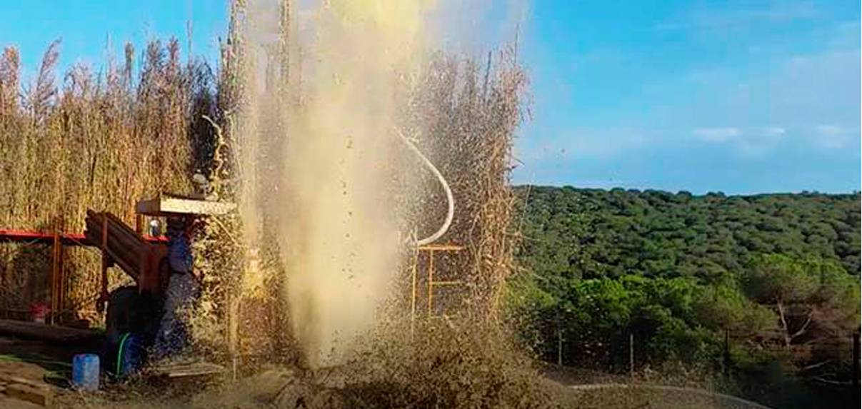
Our method establishes by anticipating FLOW and DEPTH of the water at each point of the vein and if it is thermal water the TEMPERATURE RANGE.
This being a much more sustainable, efficient and durable resource over time.
Its success rate is over 90%
Nuestra tecnología es única, eficaz y eficiente, diferenciándose de la competencia en su aplicación global de manera totalmente REMOTA.
Sin necesidad de sondeos previos, verificaciones en el terreno o traslados de ningún tipo.
Sus explotaciones no afectan acuíferos ni napas restringidas, sobreexplotadas, acotadas o contaminadas.
Nuestro método establece por anticipando CAUDAL y PROFUNDIDAD del agua en cada punto de la vena y si es agua termal el RANGO DE TEMPERATURA.
Siendo este, un recurso mucho más sostenible, eficiente y duradero en el tiempo.
Su tasa de éxito es superior al 90%.
OUR PROCEDURE
Define study area
Obtain
satellite,
topographic
and geological
images
of the area
Analyze data: thermal, infrared, LIDAR, contour lines, geological formation and faults
Data management through the algorithm developed based on AI
Generate report and drilling coordinates
Establish optimal exploitation points according to need and potential
Determine flow, depth, temperature and direction of groundwater
Location of veins in the area
NUESTRO PROCEDIMIENTO
Definir área de estudio
Obtener
imágenes
satelitales,
topográficos y
geológicos de
la zona
Analizar data:
térmica,infrarroja,
LIDAR, curvas de
nivel, formación
geológica
y fallas
Gestión de data a través del algoritmo desarrollado basado en IA
Ubicación de las venas en la zona
Determinar caudal, profundidad, temperatura y dirección del agua subterránea
Establecer puntos óptimos de explotación según necesidad y potencial
Generar informe y coordenadas de perforación
OTHER SERVICES
OTROS SERVICIOS
- If the client approves the budget and if the water capacity is sufficient for sustainable extraction, the GPS coordinates of the points where the drilling will be carried out are provided.
- If the client deems it necessary, Aquafuture can offer advisory services in the drilling and development of each well, until the estimated necessary flow is achieved.
- If the client requires a strategic report for a large area , it will also be provided and supported with studies and reports from a recognized local consultancy, where all exploitation and growth variables can be considered based on the potential groundwater use of the area. : demographic growth, new investment, industry, agriculture: BLUE ECONOMY .
Our fees are adapted to the use and flow of groundwater available in each area. Adjusting rates to the project according to its potential and duration.